Monitoring Glaciers with IceKing
Glaciers are among the most reliable indicators of climate change, but they are also an increasingly popular travel destination, with around 10 million visitors taking a glacier trip each year. Remote sensing images can be used to monitor key parameters that show us how glaciers and their health are evolving. However, scientists also need in-situ images to validate and improve their data models and IceKings solution harnesses the power of crowdsourcing, obtaining photos from tourists that can help to create cutting-edge algorithms and state-of-the-art monitoring capabilities for glaciers worldwide. The founders of IceKing are combining information acquired with GNSS services (e.g., Galileo) and Copernicus services with in-situ information collected via crowdsourcing by glacier guides and tourists. In the long term this can also serve the space community by validating scientific models with crowdsourced ground-based data, also supporting the development of new sensors to be integrated either on future satellites, High-Altitude Platform Stations and Remote Piloted Aircraft Systems (e.g., drones).
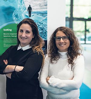
IceKing was born thanks to the NASA International Space Apps Challenge in 2016 but the company was then established in Wiener Neustadt in 2018. The interdisciplinary team is composed of five members, two of which are also co-founders, Paola Belingheri and Fabiana Milza (CEO and COO). The co-founders are both engineers. The team share expertise in innovation management, environmental and aerospace engineering, product design, marketing as well as social media management, and glacier tourism.
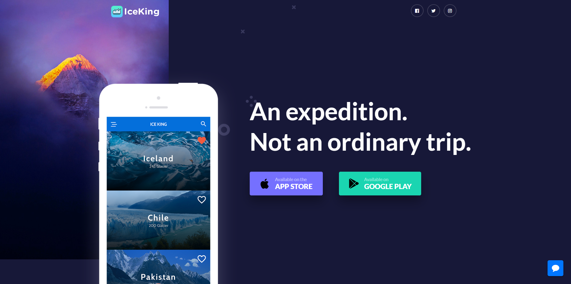
The IceKing App offers tourists the possibility to book their entire glacier trip in a sustainable manner, including accommodation, equipment and access to certified guides or Sherpas. In exchange, the App ask tourists to upload georeferenced photos at certain points of the glacier, that scientists have selected, to help the Team behind IceKing to create a database that will show 3-D models of the evolving glacier landscape over time. Tourists will therefore have a chance to actively contribute to science. They will also have access to infographics obtained from the satellite data, to raise awareness of the impacts of climate change on this fragile ecosystem, and an online diary where IceKing will track their trip using GNSS, associating all the photos and videos to each place where they were taken.
In early 2018 the IceKing App went live, creating a community for glacier excursions, tourists and guides. IceKing charges the mountain guides a fixed fee to be part of their community, so they can be booked by tourists. They also propose to companies to sponsor the initiative and to fund the scientific research. In late 2018 the IceKing Shop openned, offering in-app purchases for the online diary of the trip, merchandising, excursion equipment and more. IceKing requests a fee from commercial partners, such as hotels and equipment suppliers, when tourists buy from them through the app.